Geography of Crete
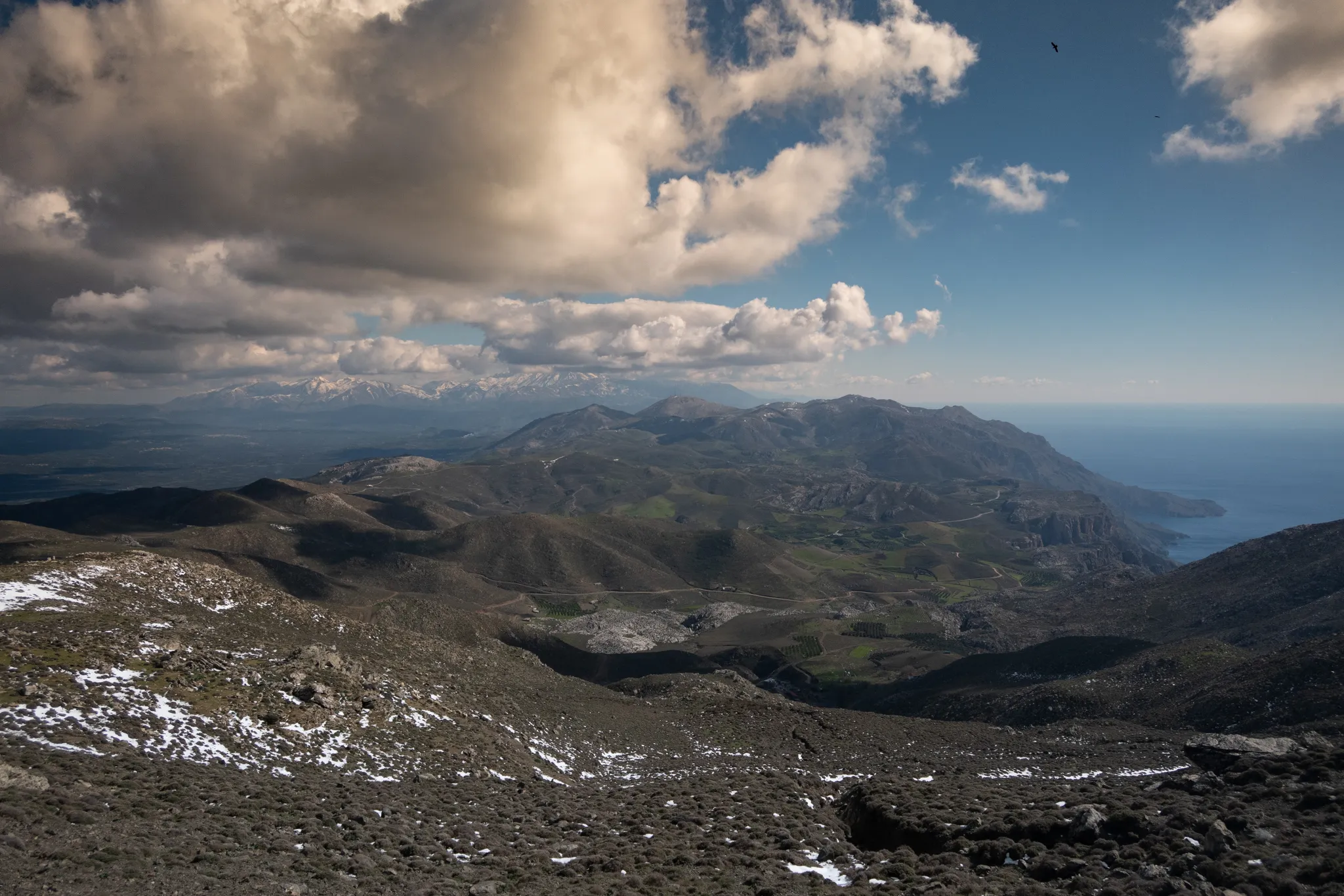
Crete is the largest island in Greece and the fifth largest in the Mediterranean, stretching roughly 260 km from east to west and between 12 and 60 km in width. Its dramatic, elongated shape is defined by rugged mountain ranges rising sharply from the sea.
Mountain Ranges of Crete
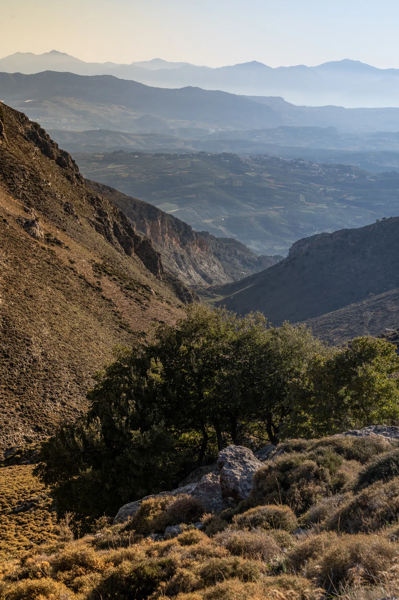
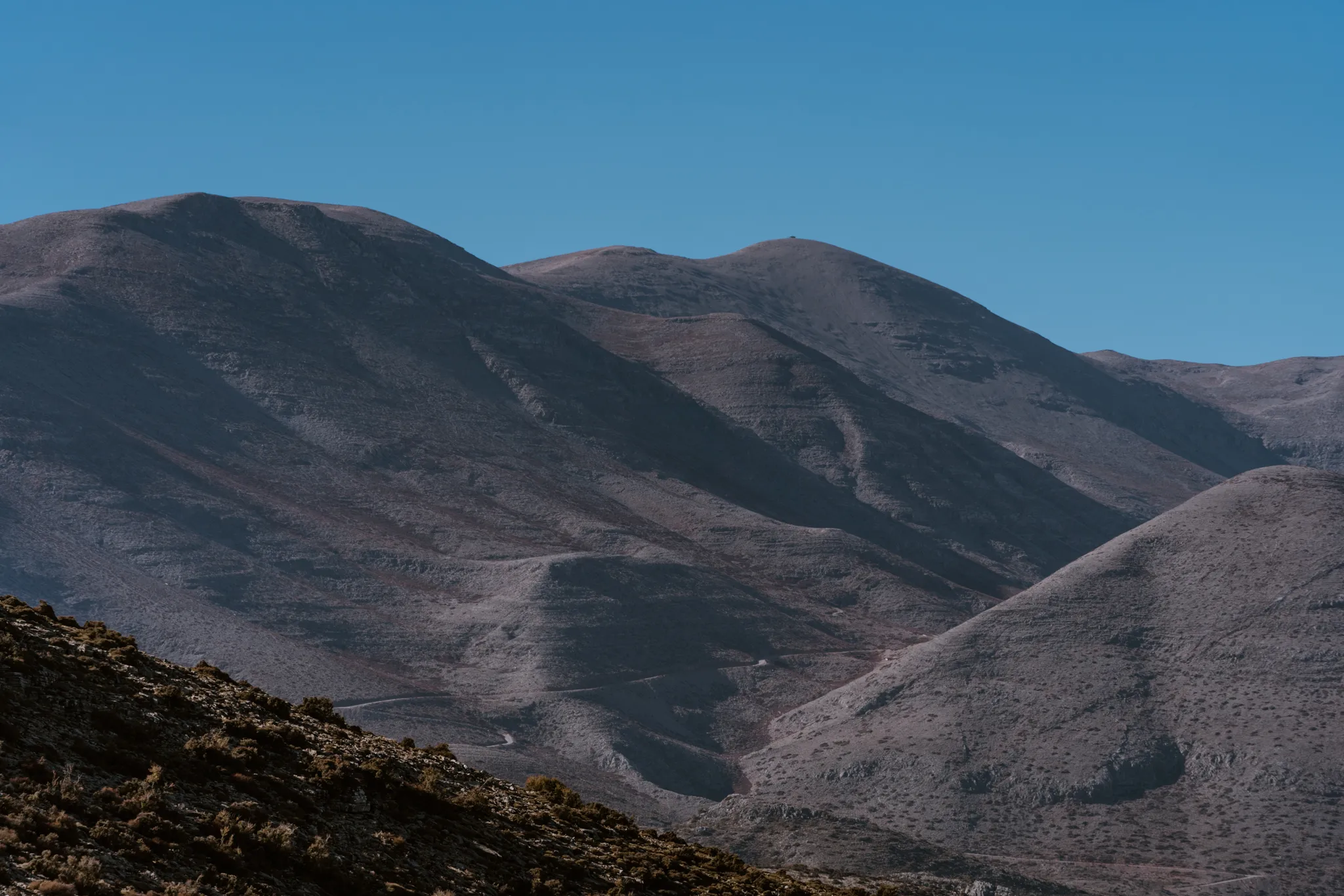
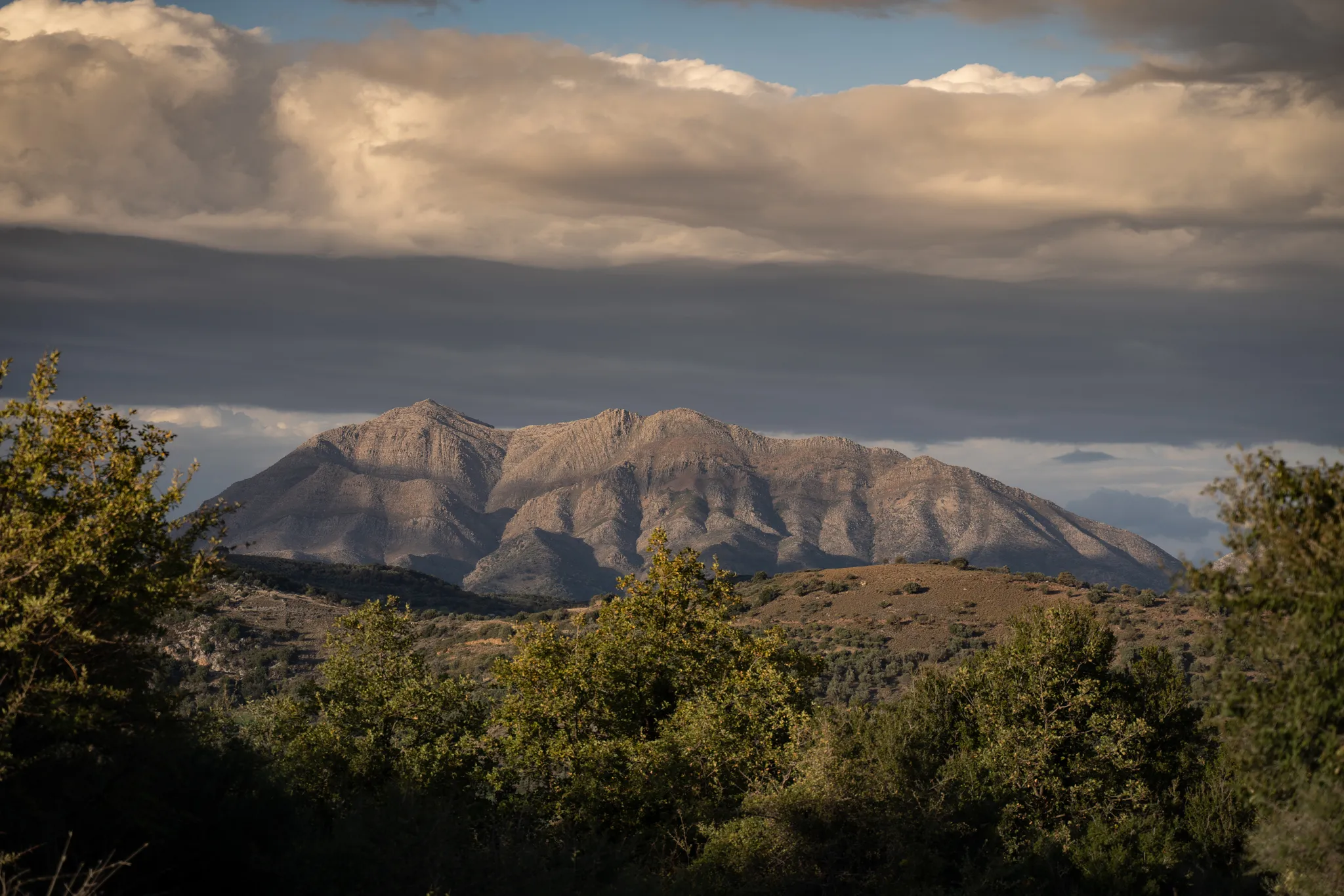
Crete’s backbone consists of four major mountain ranges:
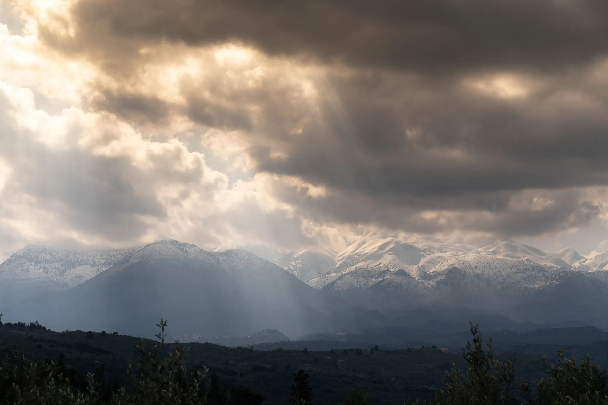
- Psiloritis (Ídhi) — the highest peak at 2,456 m
- Lefká Óri (White Mountains) — reaching 2,452 m
- Dhíkti Óri — 2,148 m
- Thriptis Mountains — far eastern Crete
These mountains are separated by upland plateaus such as Nída, Omalós, and Lasíthi, and cut by countless gorges — including the famous Samaria Gorge.
The northern coast is gentler, with fertile plains and natural harbors hosting the major cities:
Heraklion, Rethymno, and Chania.

Plains, Coasts & Rivers
The Mesará Plain in south-central Crete is the island’s largest flatland area — around 29 km long — and an important agricultural region.
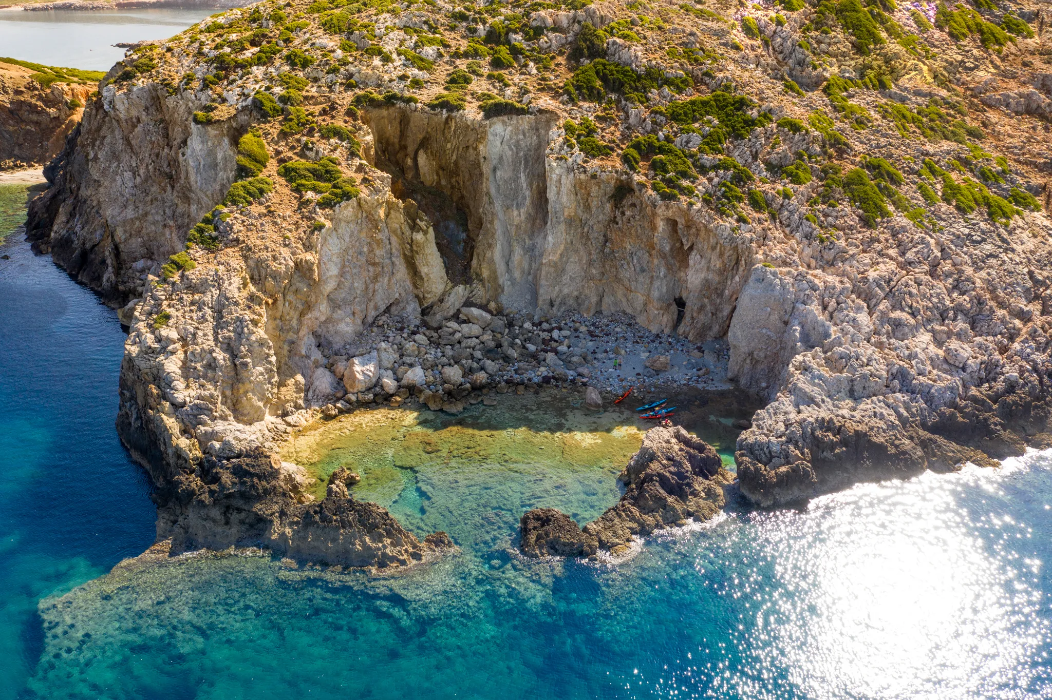
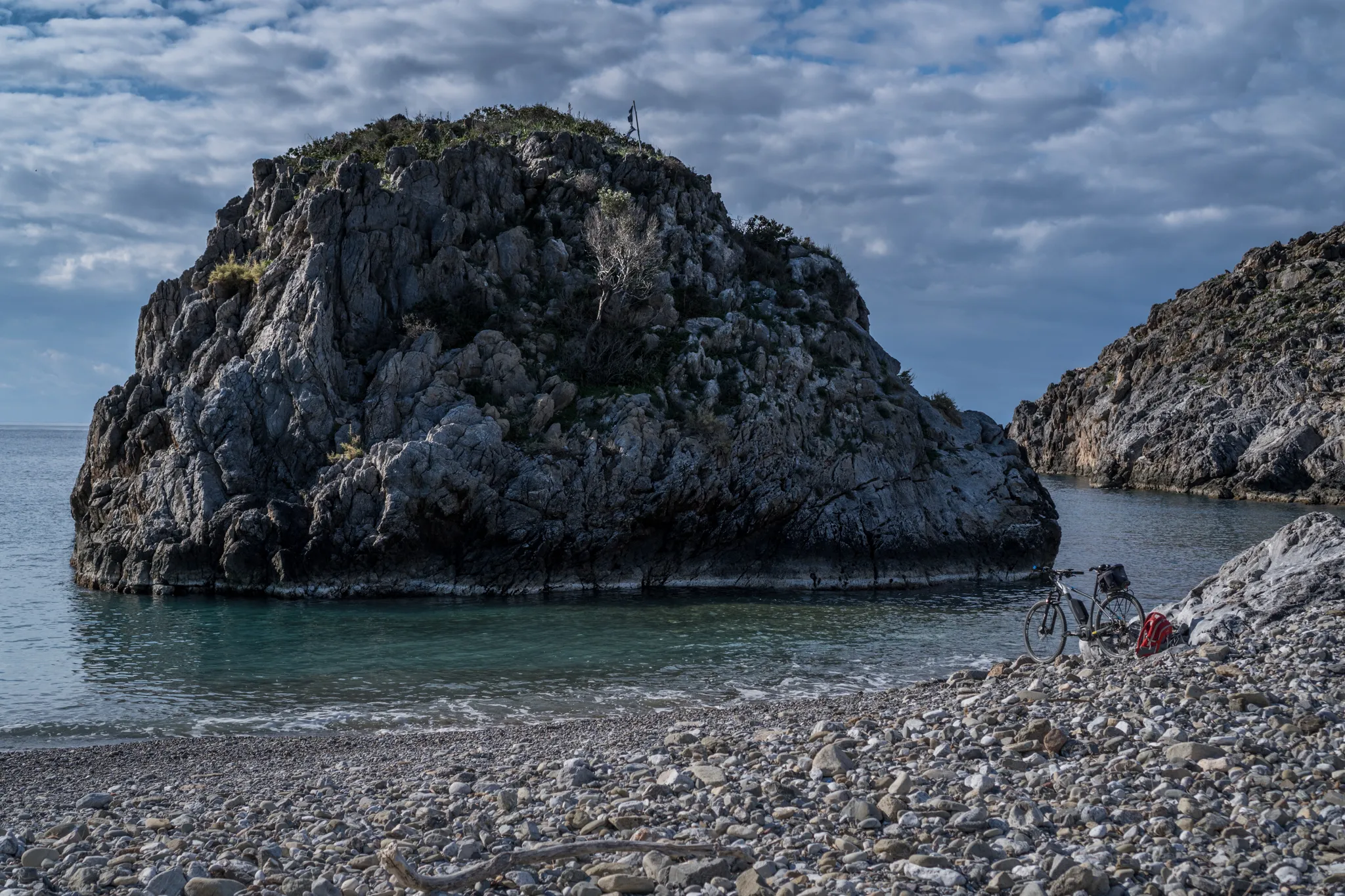
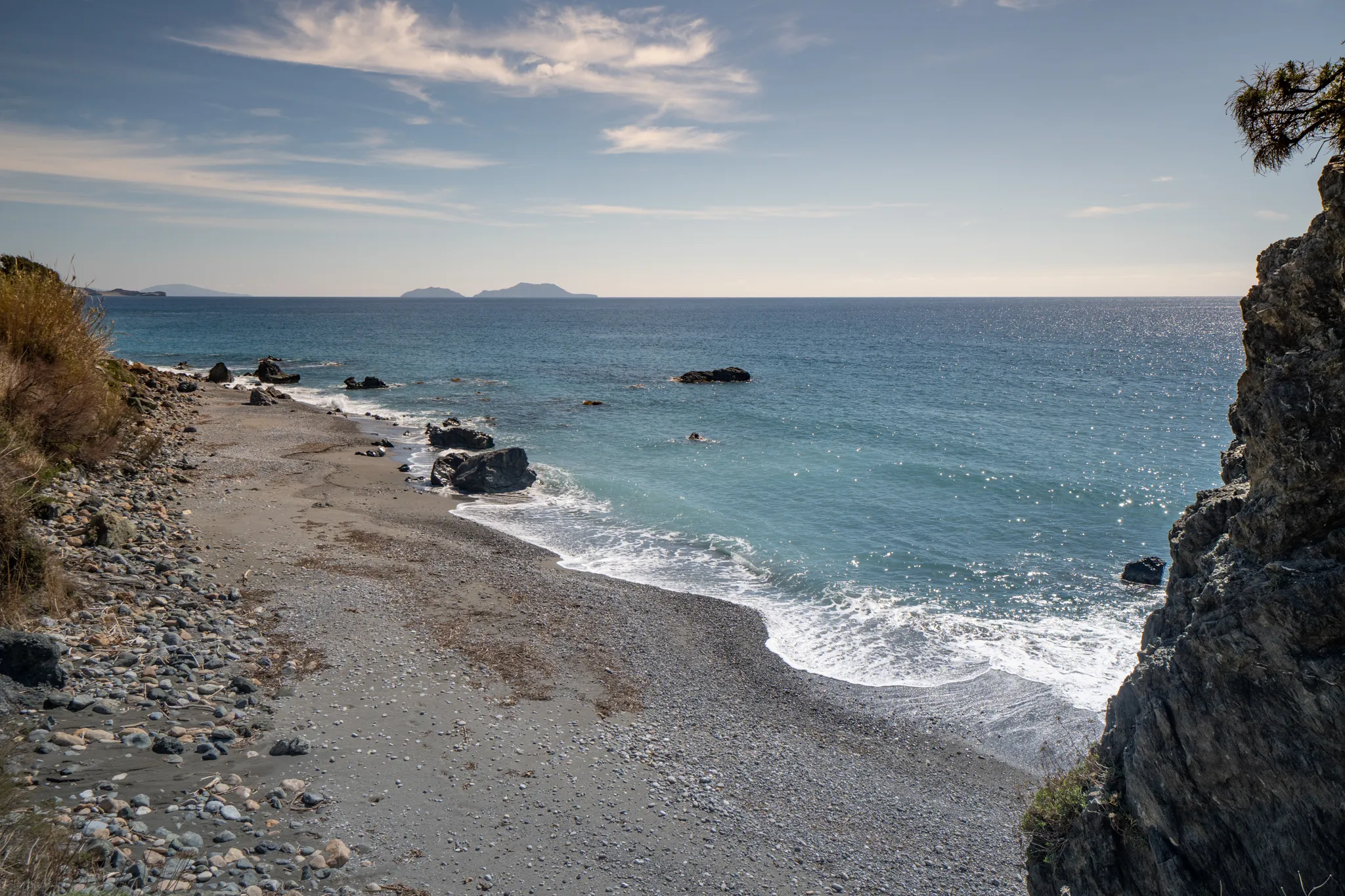
Crete’s coastline shifts from:
- Sandy beaches
- Steep cliffs
- Rocky coves
- Palm-lined bays
The island has only a few small rivers, most of which are seasonal. Water primarily comes from natural springs and winter runoff.

Flora and Fauna
Crete hosts rich biodiversity, including:
- Mediterranean scrubland (maquis & garigue)
- Palm forests in the east (notably Vai Beach)
- Cedar trees on eastern hillsides
- Hundreds of endemic plant species
The island’s wildlife includes:
- The agrími (Cretan wild goat, or kri-kri)
- Many migratory and resident birds
- Unique mountain and coastal ecosystems
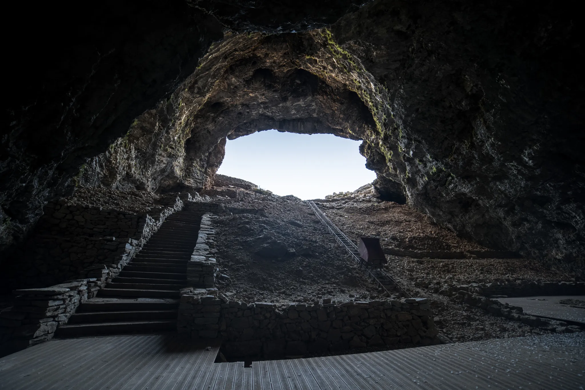
One of the most iconic areas is Samaria Gorge, a national park filled with rare flora and dramatic landscapes.
The Sea of Crete
The Sea of Crete forms the southernmost part of the Aegean, located between the Cyclades and Crete. It includes the deepest point in the entire Aegean Sea, over 3,294 meters, near Cape Sidero.
This region is also known for powerful summer winds, sometimes exceeding 100 km/h, especially during Meltemi episodes.
Crete’s dramatic south coast — where the mountains meet the sea — is the backdrop for our sea kayaking day trips and expeditions.
Photos


